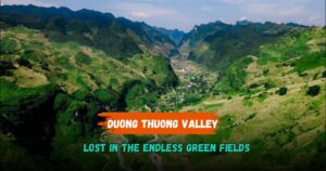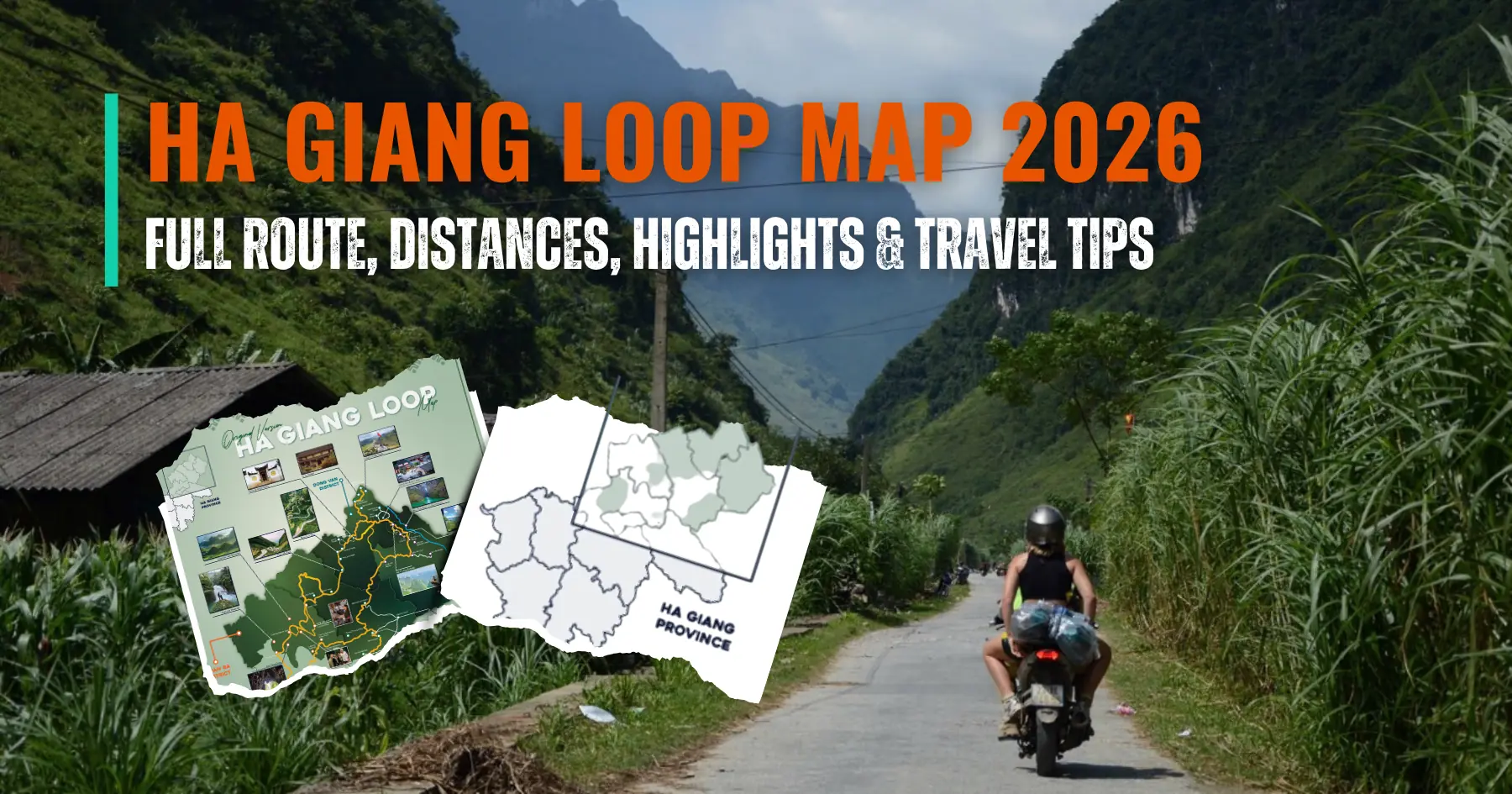

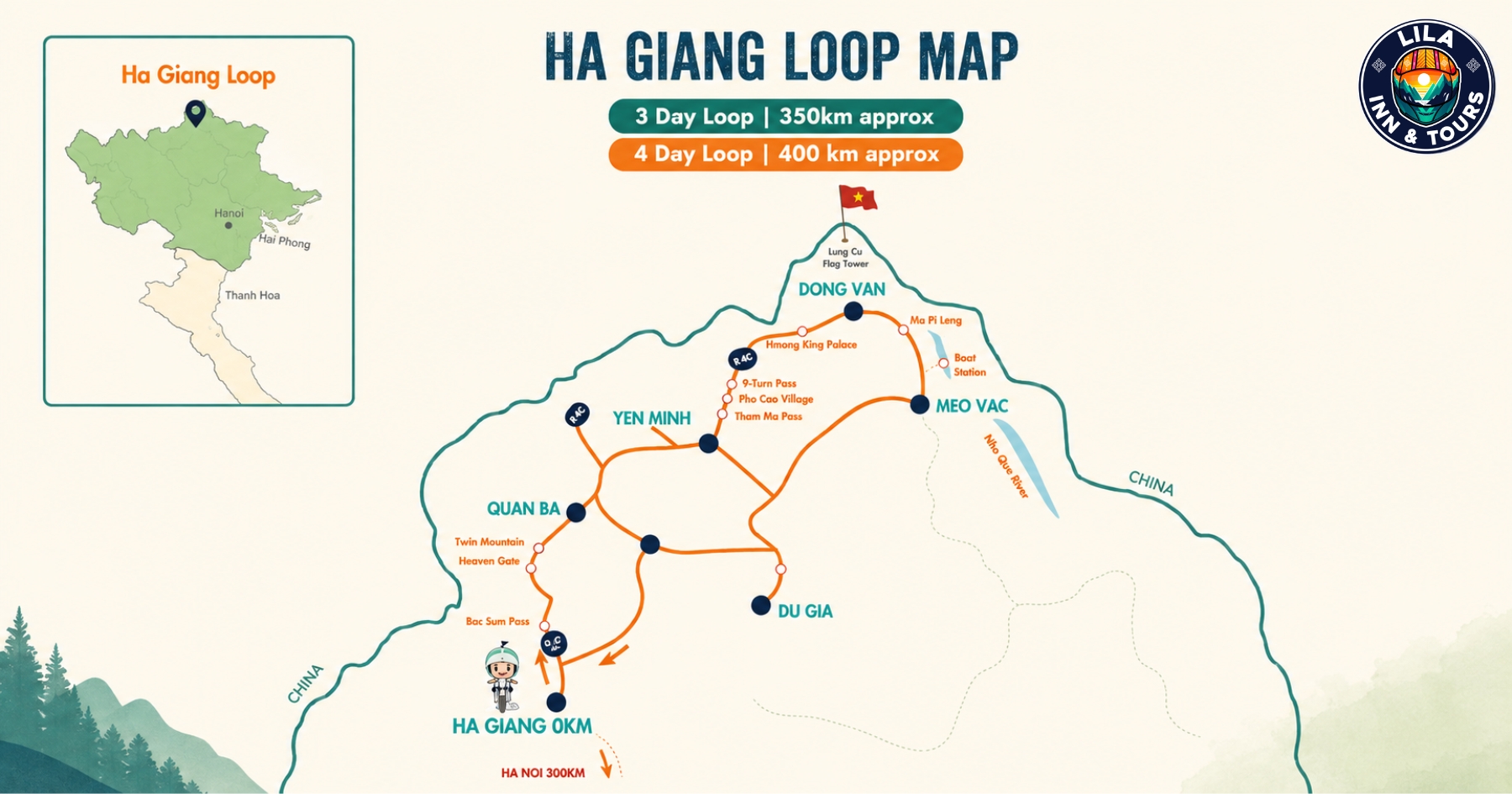
Ha Giang is best experienced on the road, where each section of the journey brings a different landscape, village, or mountain viewpoint. The Ha Giang Loop connects places such as Yen Minh, Dong Van, Meo Vac, and Lung Cu through steep valleys, limestone mountains, rice terraces, and some of Northern Vietnam’s most dramatic mountain passes.
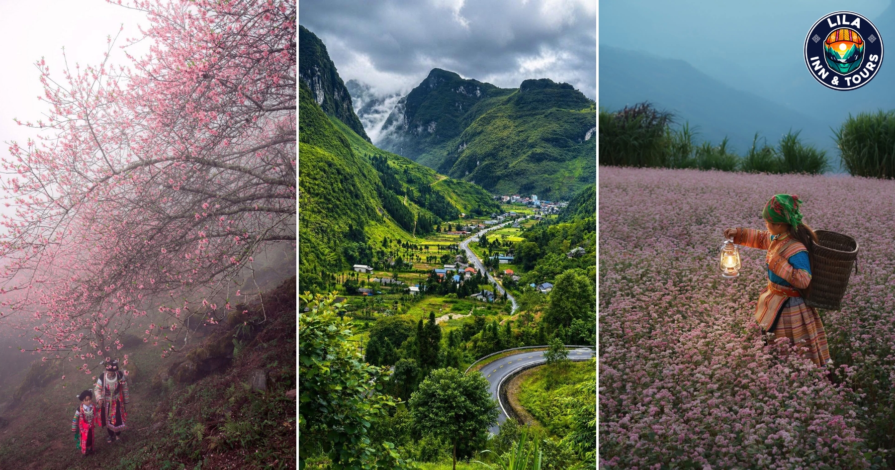
What you can see also depends on when you visit Ha Giang. September and early October bring golden rice terraces, while later autumn is associated with buckwheat flowers across the highlands. January and February can bring peach blossoms, while the rainy season creates greener scenery but may also make mountain roads wet and slippery.
The Loop is only part of the experience. Travelers can walk through ethnic villages, cross the Dong Van Karst Plateau, visit Lung Cu Flag Tower, stop at local markets, photograph rice fields, and spend time in the small mountain towns along the route. You can travel by motorbike, join a Ha Giang Loop tour, or arrange a private vehicle if you prefer not to ride.
For 2026, plan your trip around what matters most to you: clear mountain views, flower season, golden rice, fewer tourists, or comfortable road conditions. The sections below cover the best things to do in Ha Giang and when each experience is worth adding to your itinerary.
Ride the Ha Giang Loop through Vietnam’s northern mountains
The Ha Giang Loop is the main road journey through the province, linking Ha Giang City with Quan Ba, Yen Minh, Dong Van and Meo Vac. Most travelers allow three to four days for the route rather than trying to cover the mountain roads too quickly.
One of the best parts of the Loop is how often the landscape changes. The road climbs from river valleys into higher elevations, passes limestone peaks and rice fields, then continues through the Dong Van Karst Plateau. Between towns, there are small villages, roadside viewpoints and mountain passes where stopping is often more rewarding than simply reaching the next destination.
You can ride the Ha Giang Loop by motorbike if you have suitable riding experience, join a Ha Giang Loop tour, or travel by private car with a local driver. A car is a practical alternative for families, older travelers, photographers, or anyone who wants to see Ha Giang without spending several days on a motorbike.
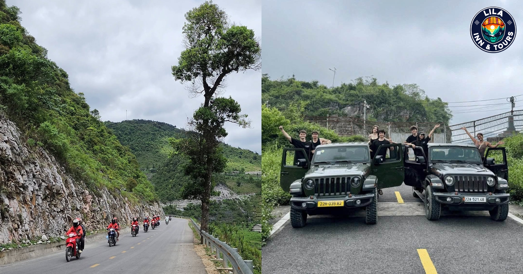
Weather should also influence your itinerary. During periods of heavy rain, some mountain roads can be slippery and visibility may fall quickly. On days with clear skies and good visibility, you can spend more time at viewpoints and make shorter stops along the road without rushing to reach Dong Van or Meo Vac before dark.
Cross the Dong Van Karst Plateau
The Dong Van Karst Plateau is one of the most distinctive landscapes on the Ha Giang Loop. Instead of the greener valleys found closer to Ha Giang City, the road enters a high limestone region shaped by steep cliffs, rocky slopes, deep valleys, and small communities built between the mountains.
The plateau covers areas around Quan Ba, Yen Minh, Dong Van and Meo Vac. Its higher elevation also means the weather can change quickly. Morning mist may reduce visibility, while clear skies can open wide views across layers of limestone peaks and narrow mountain roads.
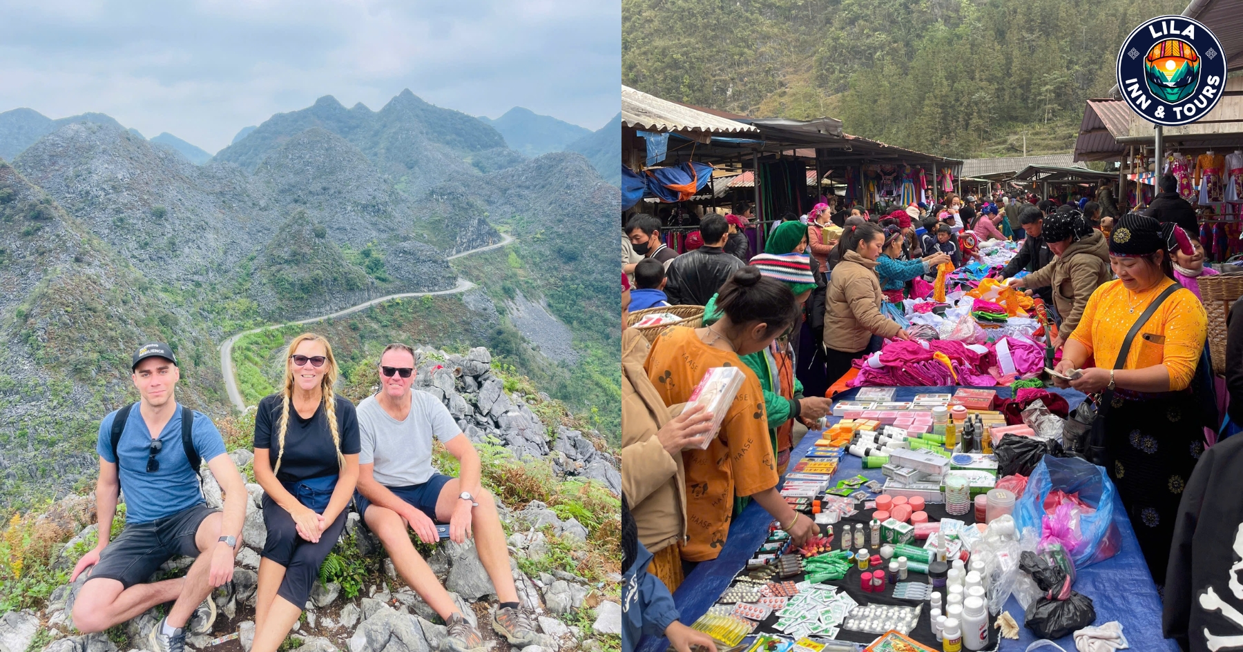
Dong Van is a practical place to stay overnight before continuing toward Meo Vac. Travelers can spend time around the old quarter, visit the local market when it is operating, and use the town as a base for nearby mountain viewpoints rather than treating it only as a stop for sleeping.
If photography is a priority, allow extra time on this section of the Ha Giang Loop. Roadside views change within short distances, and stopping safely at designated viewpoints gives you more time to see the scale of the karst plateau before continuing toward the next stage of the journey.
Travel from Dong Van to Meo Vac via Ma Pi Leng Pass
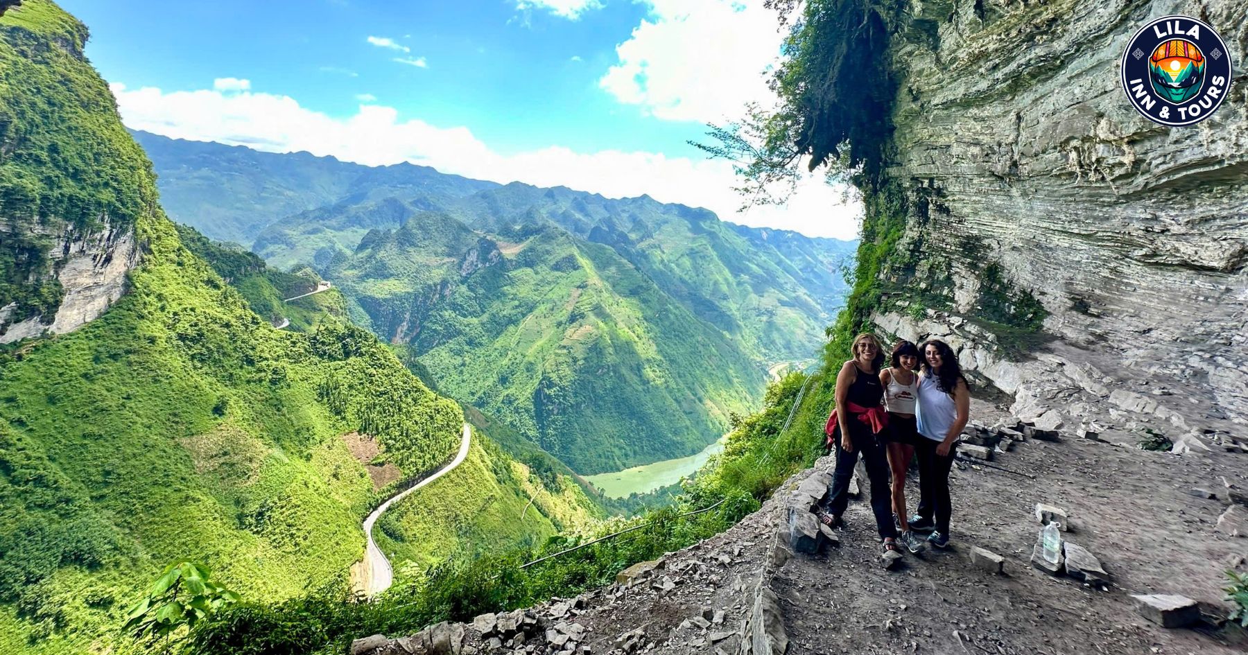
The road from Dong Van to Meo Vac is one of the sections of the Ha Giang Loop where you should leave enough time for stops. The route crosses Ma Pi Leng Pass, with steep limestone mountains rising above the Nho Que River and viewpoints spread along the mountain road.
Rather than driving straight through, stop at safe viewpoints where you can see the river cutting through Tu San Canyon below. Visibility matters here. On a day with blue skies or light clouds, the mountains and river are easier to see, while fog and rain can hide much of the valley.
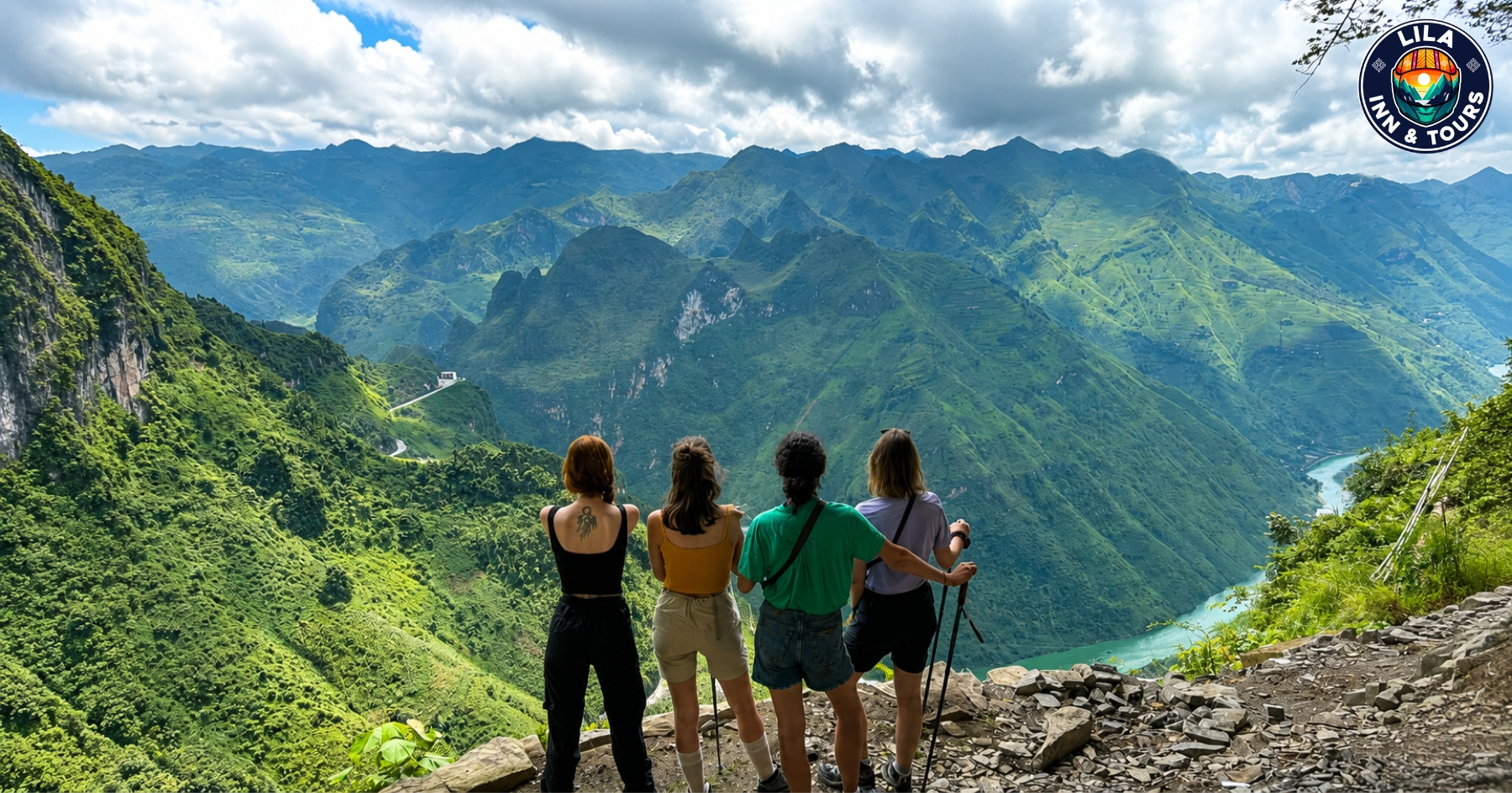
Travelers who have more time can combine the drive with a boat trip on the Nho Que River. This gives a different view of the canyon from water level and works well as part of a longer Ha Giang Loop itinerary instead of adding another long road journey.
Weather conditions should determine how much time you allow for this section. During the rainy season in Ha Giang, wet surfaces and mountain fog can slow the journey, so avoid planning a tight arrival time in Meo Vac. If you are riding a motorbike, reduce your speed and be prepared with rain gear when conditions change.
Visit Lung Cu at Vietnam’s northern frontier
Lung Cu is a worthwhile detour from Dong Van for travelers who want to reach one of the northernmost areas of Vietnam. The road passes small mountain communities, farmland, and limestone scenery before reaching Lung Cu Flag Tower, close to the Vietnam–China border.
The flag tower stands on Dragon Mountain and requires a climb from the parking area. From the upper viewpoint, you can look across valleys, villages, rice fields, and mountains extending toward the border. Good visibility makes a noticeable difference here, so mornings with low clouds or fog may offer limited views.
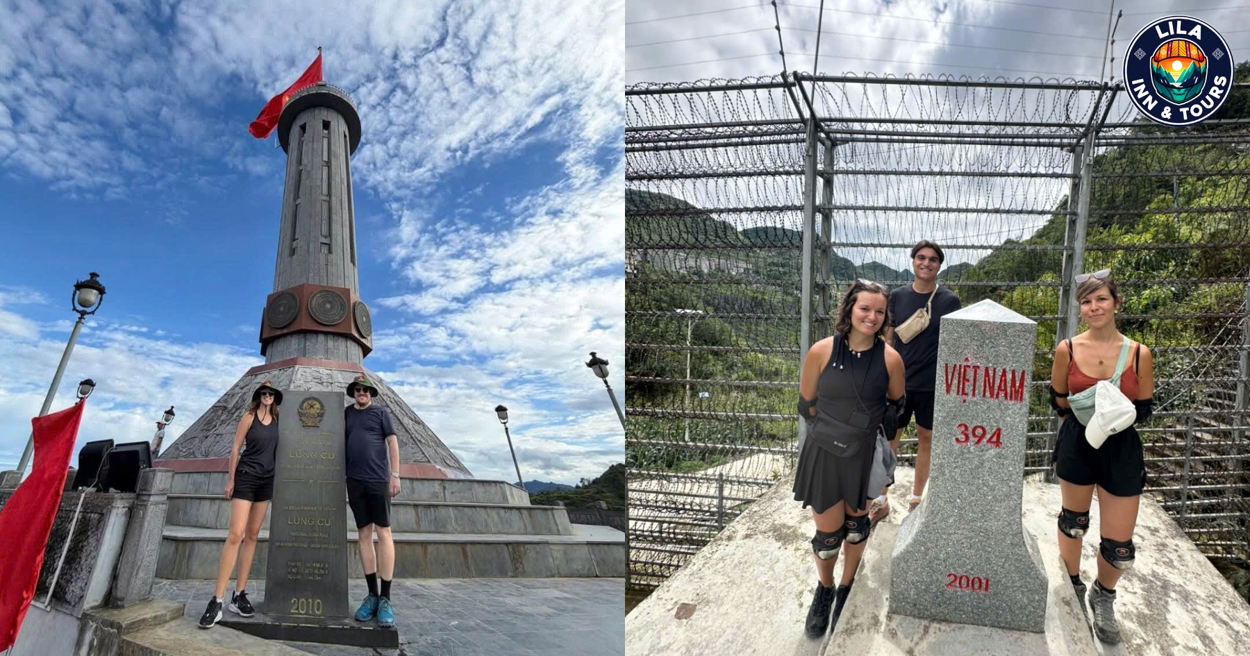
Allow time for more than the flag tower itself. Villages and rural roads around Lung Cu show a quieter side of Ha Giang Province, particularly when compared with the busier sections between Dong Van and Meo Vac. Depending on the season, the surrounding fields can change from green crops to flowering landscapes.
Lung Cu fits naturally into a Ha Giang Loop itinerary before returning to Dong Van. Starting early gives you enough time for the detour, short village stops, and the return journey without having to ride unfamiliar mountain roads after dark.
See the golden rice terraces in September and October
The rice terraces add a different character to Ha Giang once the fields begin changing color. For travelers who want to photograph golden rice, the most useful period is generally September to early October, although harvest timing can vary by elevation, village, and weather conditions.
Hoang Su Phi is particularly well known for large terraced landscapes, while rice fields can also be seen along rural sections of the Ha Giang Loop. In September, many fields begin turning from green to yellow before local families start harvesting them.
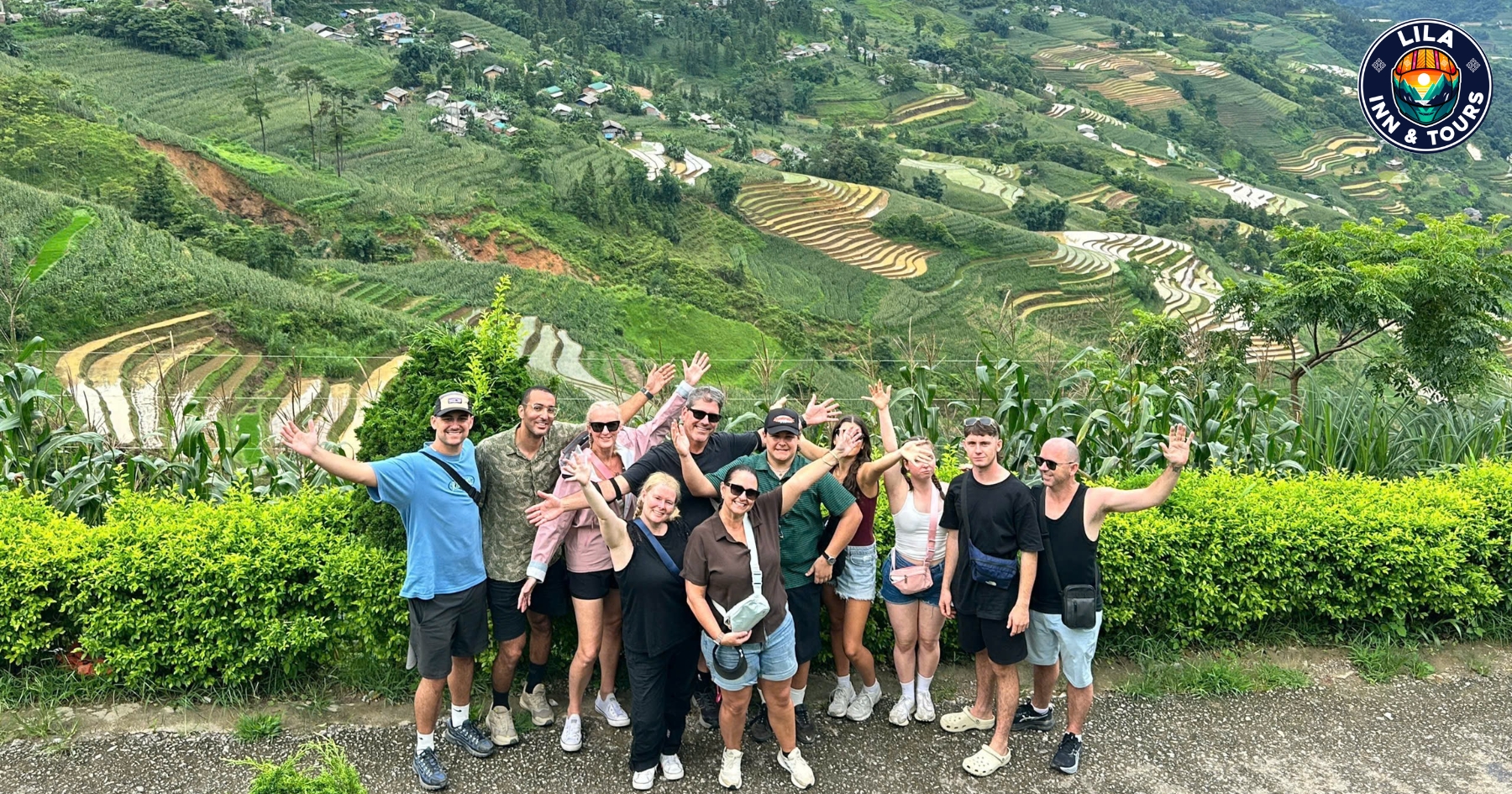
If your main reason to visit Ha Giang is to see the golden rice terraces, avoid choosing dates based only on a fixed annual calendar. Fields at higher elevations may ripen at different times, and harvesting can begin earlier or later depending on rainfall and growing conditions.
September and October also work well for travelers who want to combine rice scenery with the mountain route. After the heavier summer rains, there can be clearer periods for road travel and photography, making this one of the most popular times to experience Ha Giang’s agricultural landscapes.
See Ha Giang during buckwheat flower season
After the rice harvest, buckwheat flowers bring another change to the mountain landscape. The main flower season usually falls from October into November, when fields of small pink, white, and pale purple flowers appear around Dong Van, Meo Vac and other highland communities.
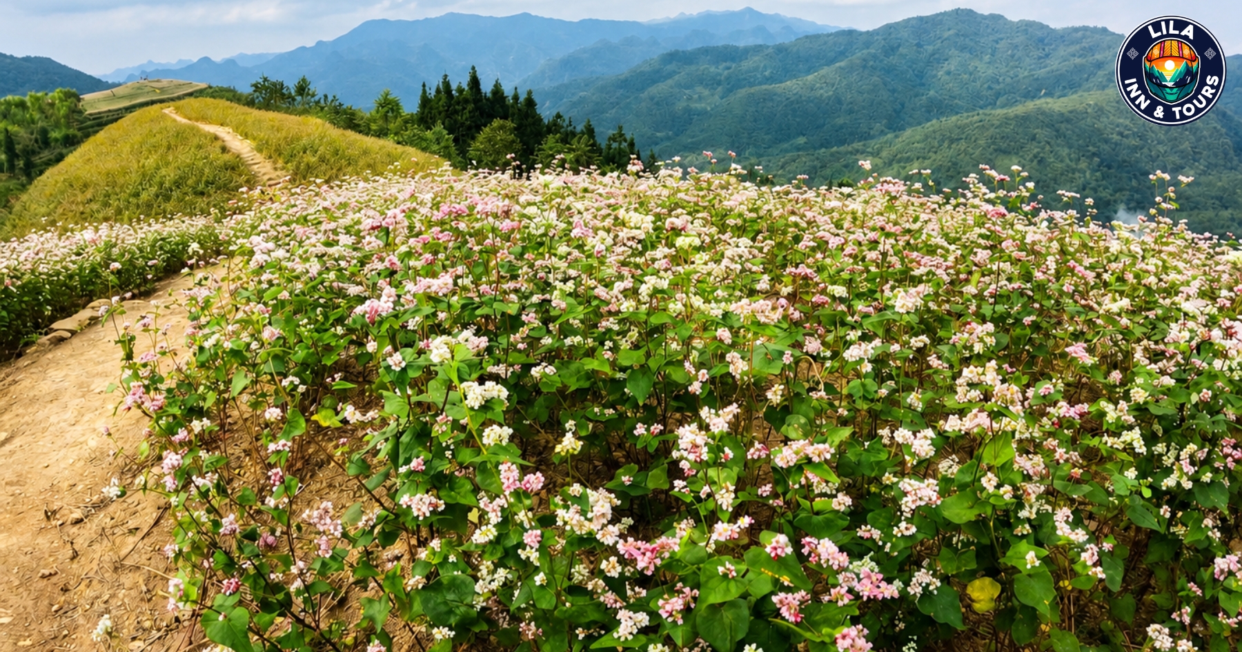
Areas around Dong Van are among the easiest places to include flower stops within a Ha Giang Loop itinerary. Rather than visiting a single field, you may see different patches along mountain roads, near villages, and across valleys as you travel toward Meo Vac.
November brings cooler temperatures and a different landscape from the golden rice period of September and early October. For travelers interested in photography, local culture, and seasonal scenery, this can be a good time to combine the buckwheat flower bloom with the main Loop.
Flowering dates are not identical every year. Rainfall, temperature, and higher elevations can affect when individual fields reach their best color. If the flowers are one of your priorities, check current local conditions shortly before you visit Ha Giang rather than planning around one exact date.
Visit Ha Giang during peach blossom season
From January to March, Ha Giang takes on a softer landscape as peach blossoms begin appearing around mountain villages and family homes. January and February are usually associated with the early spring bloom, although flowering dates vary with temperature and elevation.
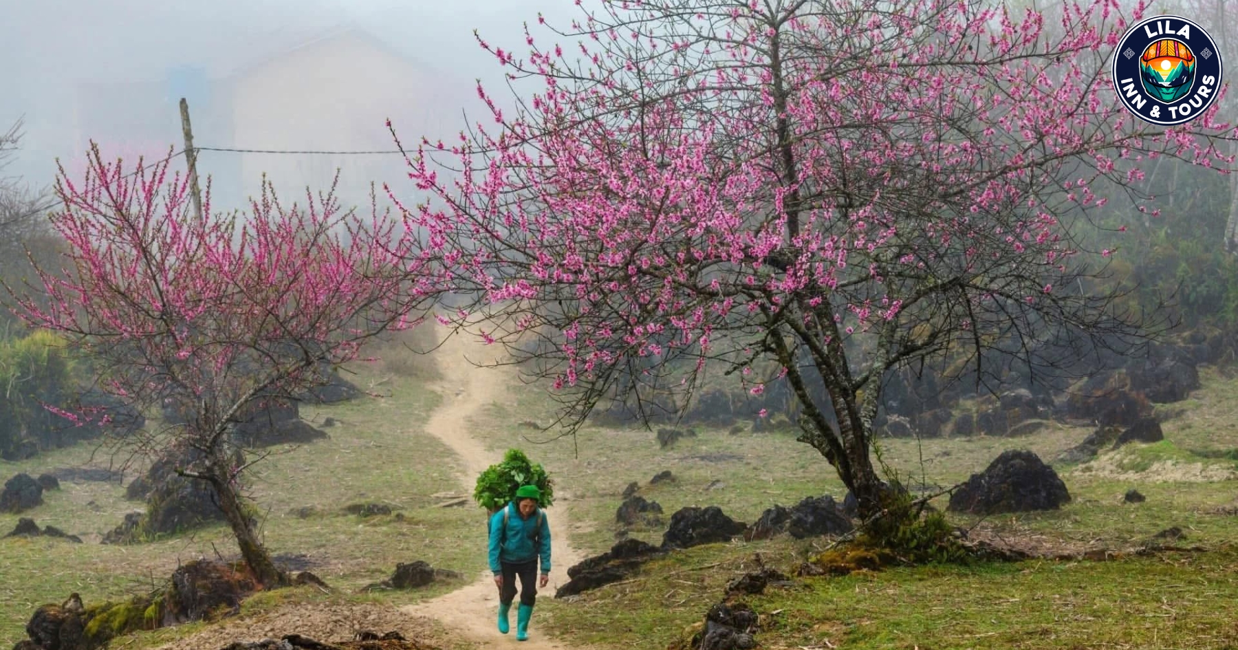
The scenery around Dong Van, Yen Minh and nearby villages can be especially attractive when pink peach blossoms contrast with grey limestone mountains. This period also feels very different from the golden rice and buckwheat flower seasons later in the year.
If spring flowers are your priority, check current conditions before you visit Ha Giang, as colder weather can delay the bloom.
Stop in Yen Minh between the major Loop stages
Yen Minh is a practical stop between Quan Ba and Dong Van, surrounded by pine-covered hills, valleys, and small mountain villages. Many travelers pass through as part of a multi-day Ha Giang Loop itinerary.
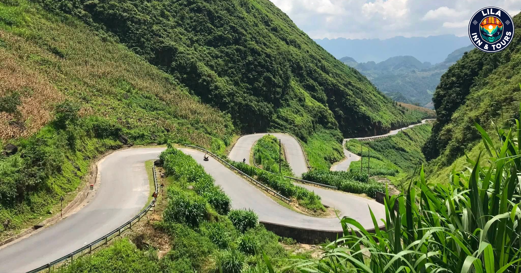
The town works well for lunch, coffee, or an overnight stay if you prefer a slower route. Roads around Yen Minh also provide quieter countryside views before the landscape becomes rockier toward the Dong Van Karst Plateau.
Allowing time here helps break up long riding hours and gives you more time to enjoy Ha Giang beyond the main viewpoints.
Choose the best time to visit Ha Giang
The best time to visit Ha Giang depends on what you want to see. September to early October is popular for golden rice terraces, while October and November bring the buckwheat flower season.
From January to March, cooler weather comes with spring blossoms. July and August fall within the rainy season, when landscapes are green but heavy rain can make mountain roads slippery.
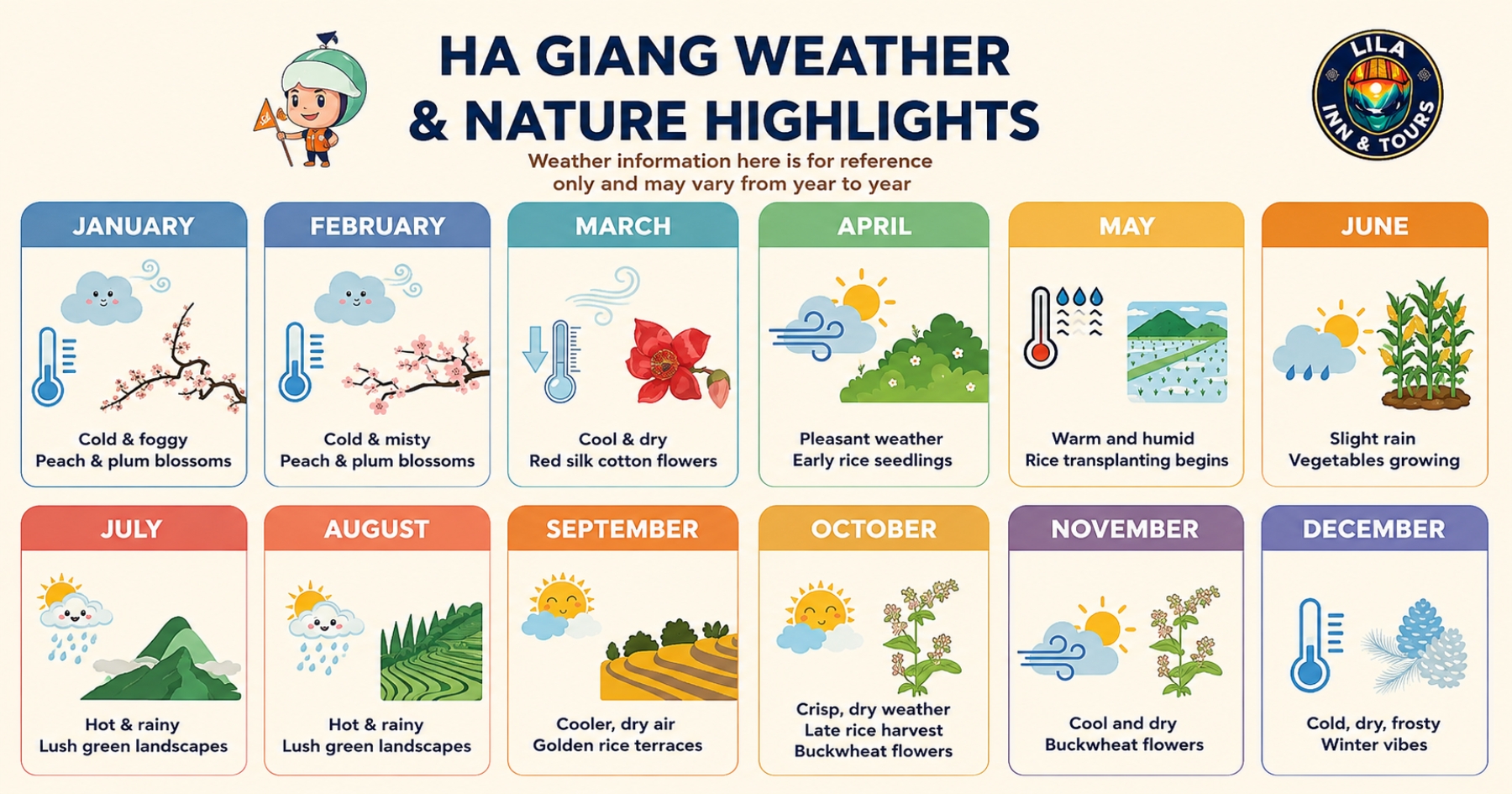
For clearer views and easier road conditions, check the Ha Giang weather shortly before your trip rather than choosing dates based only on the season.
What to know before doing the Ha Giang Loop in 2026
Check the Ha Giang Loop weather before each day of travel, especially during the rainy season. Heavy rain can reduce visibility, and mountain roads can become slippery around steep passes and higher elevations.
If you plan to ride the Ha Giang Loop by motorbike, carry suitable rain gear and allow extra time between stops. Travelers who are not comfortable riding in wet conditions can join a tour or choose a car with a local driver.

Avoid a tight itinerary. Changing weather conditions can affect your riding time, so plan each day with enough flexibility to reach your overnight stop before dark.
How many days should you spend in Ha Giang?
Allow three to four days for a first Ha Giang Loop itinerary. Three days covers the main route, while four days gives you more time for villages, viewpoints, Dong Van, Meo Vac, and Lung Cu.
If you prefer slower travel or photography stops, add another day. A flexible itinerary also gives you more time to adjust when mountain weather conditions affect the road.
Getting to Ha Giang from Hanoi
Hanoi is the main starting point for travelers heading to Ha Giang. The road journey is about 280–300 km and usually takes around six to seven hours, depending on traffic and stops.
Sleeper buses and limousine vans are common options to Ha Giang City. Travelers who prefer a flexible schedule can also arrange a private car before starting their Ha Giang Loop itinerary.
FAQs about visiting Ha Giang in 2026
What is the best month to visit Ha Giang?
September and October are popular for golden rice terraces, while October and November are better for buckwheat flowers. The best month depends on whether you prefer rice fields, flowers, cooler temperatures, or clearer mountain views.
Is the Ha Giang Loop worth doing?
Yes. The Ha Giang Loop connects Dong Van, Meo Vac, Yen Minh, Lung Cu, mountain passes, ethnic villages, and the Dong Van Karst Plateau in one journey.
Can I visit Ha Giang without riding a motorbike?
Yes. You can travel by private car or join a Ha Giang Loop tour instead. This is useful for families, photographers, older travelers, or anyone uncomfortable riding on steep mountain roads.
When do the rice terraces turn golden in Ha Giang?
The golden rice terraces are generally best from September to early October. Harvest dates vary between areas because rainfall, elevation, and local growing conditions affect when the rice matures.
Is the Ha Giang Loop safe during the rainy season?
Travel is still possible, but heavy rain can reduce visibility and make roads slippery. Check the Ha Giang weather before departure, carry rain gear, and allow more time for mountain sections.
How many days are enough for Ha Giang?
Three days can cover the main Loop, but four days provides a more comfortable pace. It gives you additional time for Dong Van, Meo Vac, Lung Cu, villages, viewpoints, and unexpected weather changes.